
Key Takeaways
- Temperatures Near 25C Forecast Across the United Kingdom, Below Heatwave Level, with some areas potentially reaching 24 or 25C.
- High pressure is expected to bring mostly dry, settled weather and brighter intervals across much of the UK.
- England and Wales could remain warm through much of the week, while Scotland and Northern Ireland become cooler and wetter in places.
- The Met Office heatwave threshold requires 26 to 28C, depending on location, for three successive days, so forecast temperatures of 20-25C do not qualify.
- Southern and eastern England may stay dry, offering little rainfall to areas that continue to experience drought conditions.
- Temperatures are likely to ease later in the week, with more autumnal, wetter and windier conditions possible as October approaches.
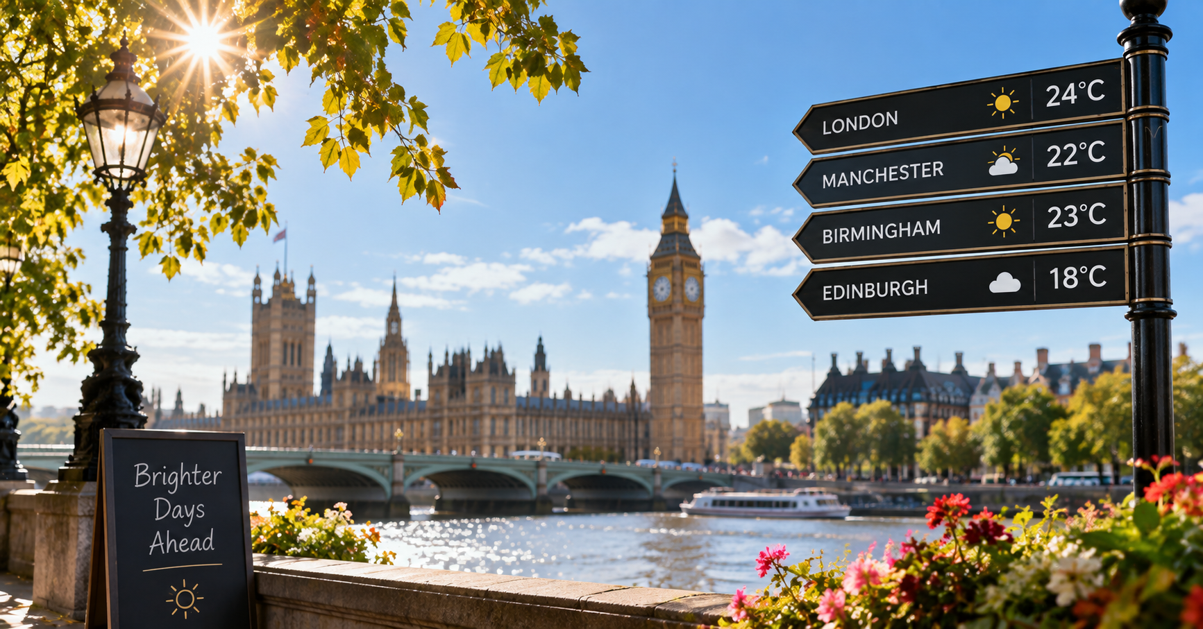
A warmer, mostly dry spell is expected across much of the UK in the coming days, with some locations potentially reaching 24 or 25C. Although the conditions will be notably mild for late September, forecast values remain below the level required for a heatwave.
Warmer Conditions Take Hold
High pressure developing over the United Kingdom is expected to bring more settled weather, including brighter intervals and lighter winds.
Late-September Pattern
Widely, readings are forecast to reach the low 20s Celsius, about five degrees above the late-September average. Sunshine and largely dry weather are expected, although northern and western parts of the UK may see rain at times.
Early-Week Forecast
After a cold Monday morning, England and Wales should see sunshine and light winds, allowing Temperatures to rise into the low 20s. Scotland and Northern Ireland will have more cloud but are also expected to reach 18 to 22C.
Significance of the Warm Spell
The warmth is likely to continue through much of the week in England and Wales, while Scotland and Northern Ireland become somewhat cooler. In 2026, the number of days above 25C has already exceeded the previous record of 89 days, set in 1959.
Rain Risk and Heatwave Threshold
The position of high pressure will shape both the limited rainfall risk and the extent of the warmth.
Cloud, Mist and Rain
Humid air and light winds may bring mist, fog and low cloud to England and Wales on Tuesday. If sunshine breaks through, south-east England could reach around 24 or 25C. A front may bring rain to western Scotland and western Northern Ireland on Tuesday, expanding by Wednesday across Scotland, Northern Ireland, Wales and western England.
Definition of a Heatwave
The Met Office requires temperatures of 26 to 28C, depending on location, for three successive days for a heatwave. Forecast values of about 20-25C therefore do not meet that standard, despite feeling unusually warm for September.
How the Forecast Is Framed
The available information focuses on anticipated weather conditions and their seasonal context rather than reactions from the public.
Public Discussion
No public or social-media response is set out in the forecast information. The expected sunshine and warmth may nevertheless give parts of the UK a summer-like feel late in September.
Forecast Context
The outlook highlights seasonal weather patterns, regional differences and the uncertainty that increases later in the forecast period.
Seasonal Warmth
Warm periods late in September are fairly common when southerly airflows carry hot air from southern Europe or North Africa towards the UK.
Regional Contrast
By Wednesday, western areas affected by rain are expected to cool to around 14 to 18C, while eastern and south-east England may remain dry and reach the mid-20s Celsius.
Drought Considerations
Southern and eastern England are likely to remain settled and dry, offering little rain to places that continue to experience drought conditions.
Outlook for the Days Ahead
Conditions are expected to stay milder than average beyond the peak of the warm spell, though the longer-range picture is less certain.
Later-Week Conditions
Temperatures may decline by several degrees towards the end of the week but should remain in the high teens to low 20s. The final week of September is also expected to be slightly warmer than average overall across the UK, although less warm than this week.
Shift Toward October
Forecast confidence decreases further into October. Current indications suggest more autumnal conditions could emerge, with wetter and windier weather becoming more dominant.
Based on reporting from the original report.
Frequently Asked Questions
What started the trend toward warmer weather across the United Kingdom?
High pressure developing over the United Kingdom is expected to bring more settled conditions, lighter winds and brighter intervals. This pattern should allow temperatures to rise into the low 20s Celsius across much of the country.
Why is the warmer forecast attracting attention?
Some locations, particularly in south-east England, could reach 24 or 25C, which is notably mild for late September. However, the forecast remains below the Met Office heatwave threshold of 26 to 28C, depending on location, for three consecutive days.
What are the latest updates on the forecast?
After a cold Monday morning, England and Wales are expected to become sunny with light winds, while Scotland and Northern Ireland may stay cloudier. Mist, fog and low cloud could affect England and Wales on Tuesday, with rain developing across western areas before spreading more widely by Wednesday.
What could happen next after the warm spell?
Temperatures may fall by several degrees toward the end of the week but are expected to remain in the high teens to low 20s. The final week of September may still be slightly warmer than average, while more autumnal, wetter and windier conditions could become more likely during October.